August for us means a (semi) annual trip backpacking the Beartooths, a high elevation mountainous plateau in the Absaroka-Beartooth Wilderness that sits between Cooke City and Red Lodge, Montana. A glacially carved landscape decorated with 2 billion year-old granite outcrops, 12,000 foot peaks, alpine tundra, and copious lakes, the Beartooths are an amazing place to wander. The possibilities for off-trail exploration are endless; every corner and cliff and lake and ridge beckons, each with myriad surprises and new discoveries around every turn. 

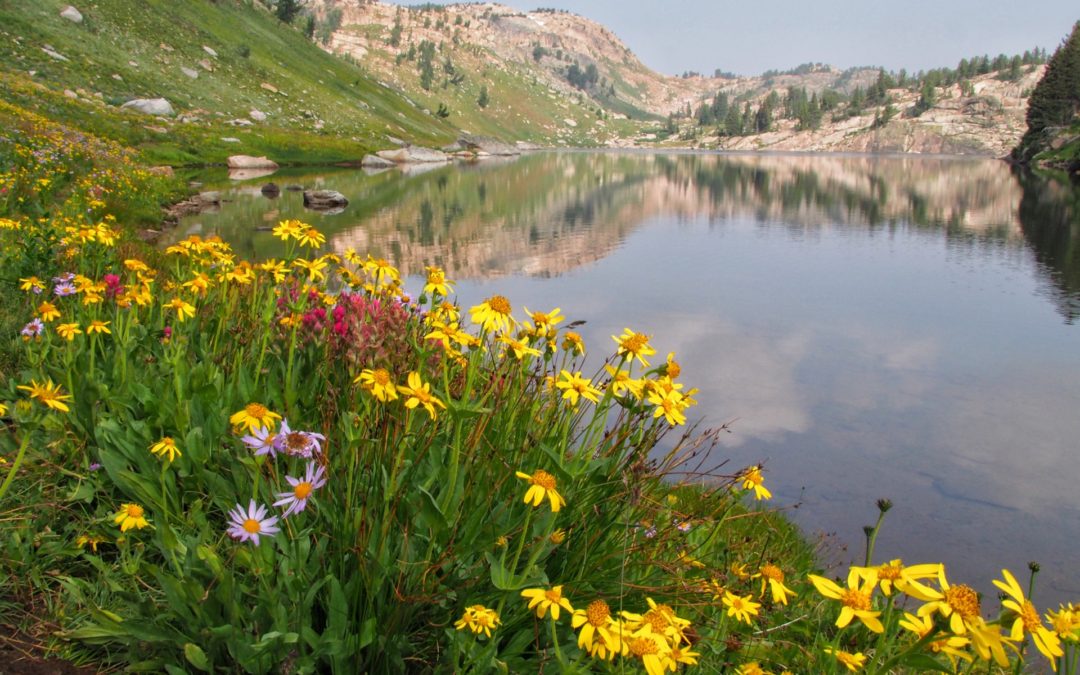
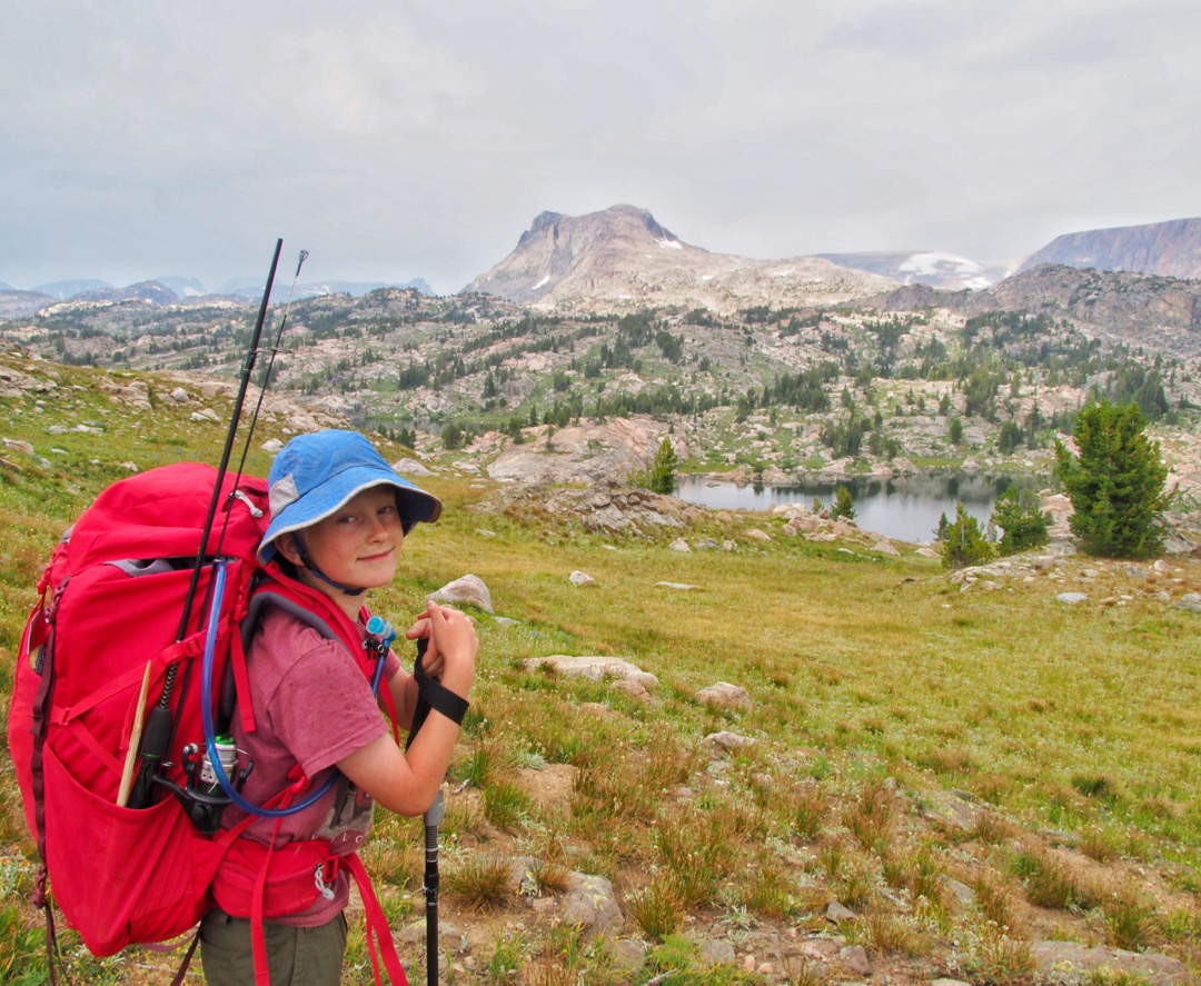
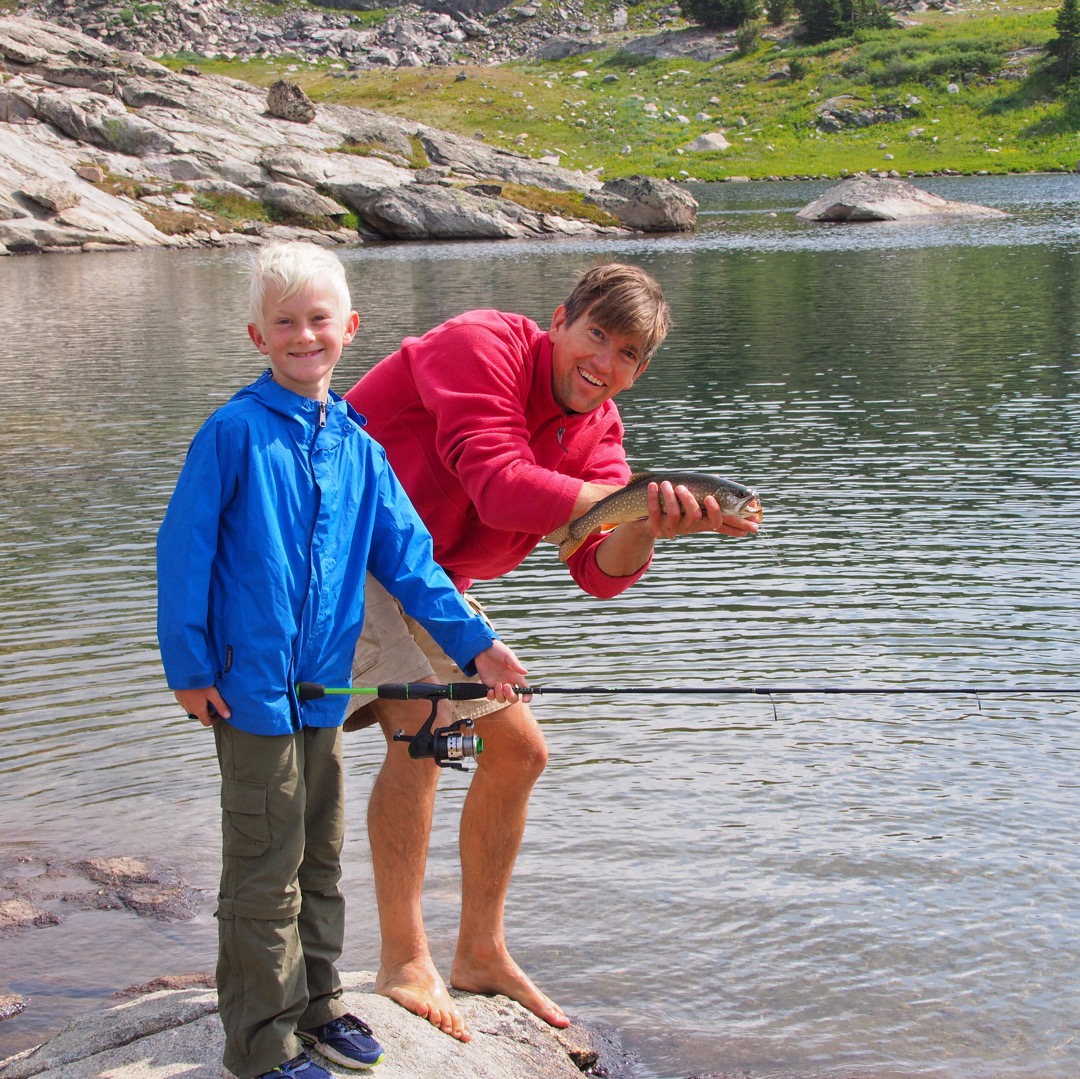
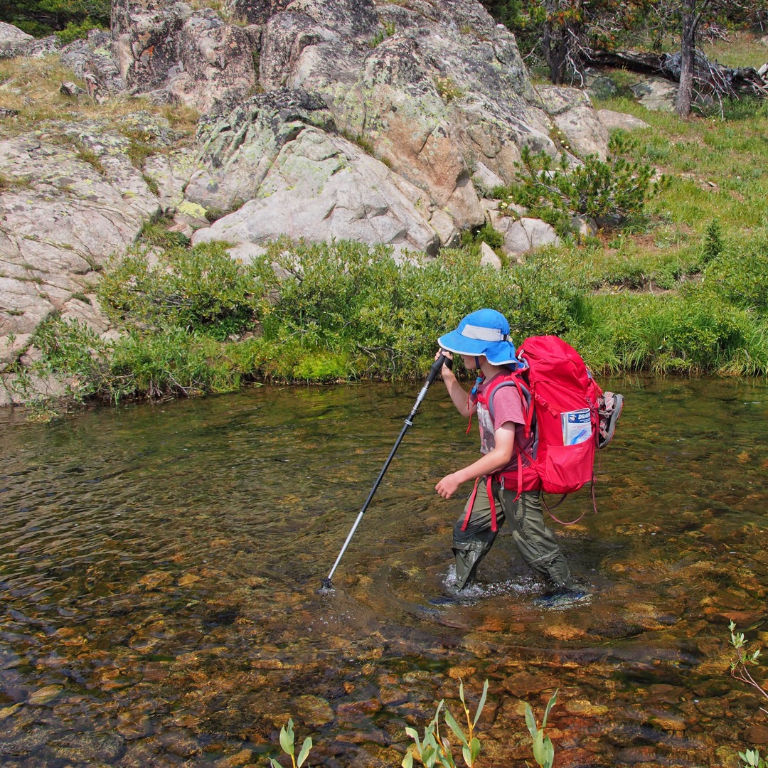
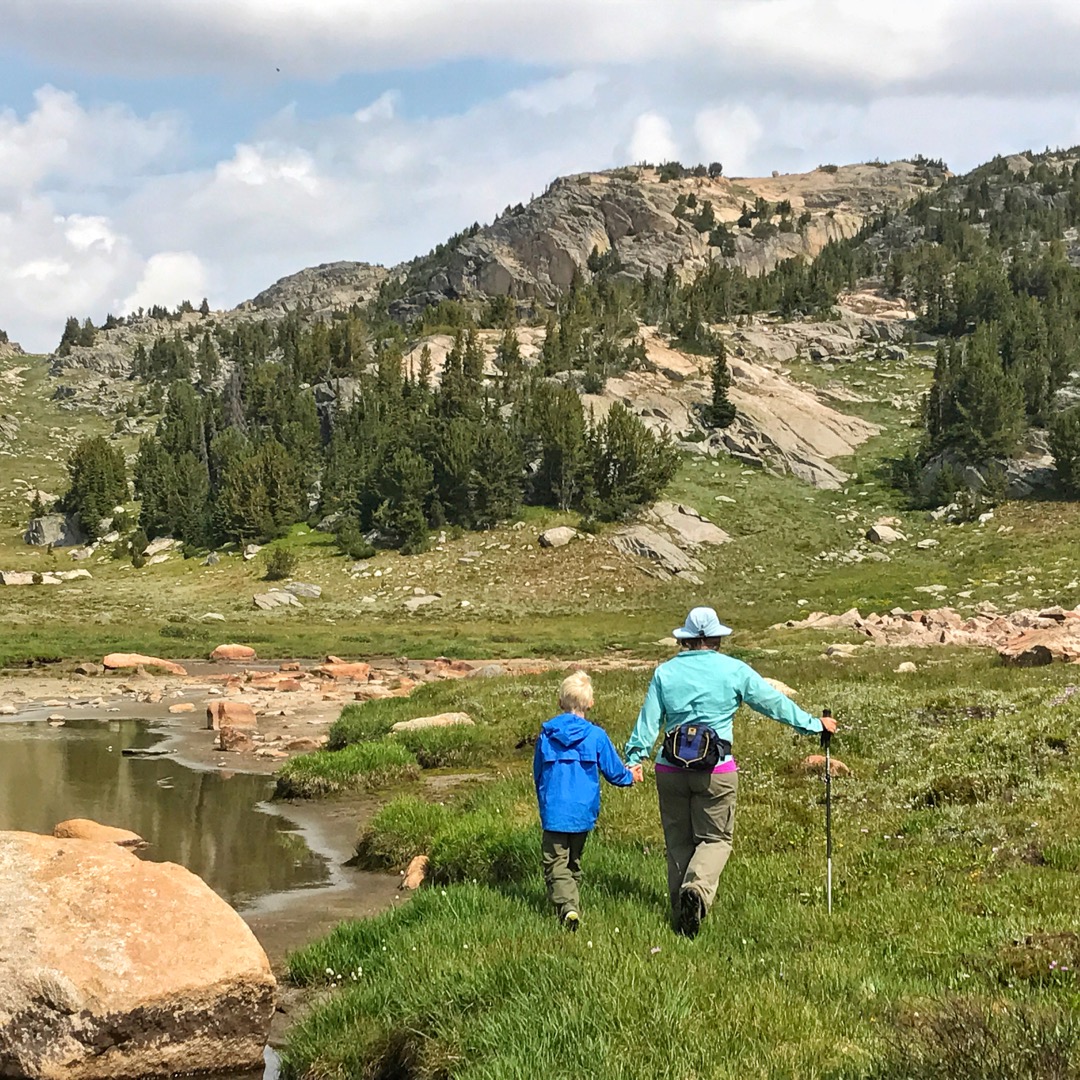
The immense amount of snow per year* and glacially carved terrain means lots (and lots) of high country lakes to explore.  It’s also a great place to fall in love with fishing. “The first thing on my agenda,” says little George on the hike in “is to…uh….set up the tent. AND THEN GET FISHING!” I’m sure he added the tent part for my benefit….but needless to say he was pretty excited to fish. 

Over 300 lakes in the Beartooths contain a combination of self sustaining and stocked trout, including Yellowstone cutthroat trout, brook trout, rainbow trout, golden trout, arctic grayling, and variations of cutthroat/rainbow/golden trout hybrids. Even the most novice angler can catch multiple fish in these waters! Make sure to get the right fishing permits and regulations; the southern part of the Beartooths cross both Montana and Wyoming. You can stop over in Cody, Wyoming, Red Lodge, Montana, or Cooke City, Montana for local information and permits.


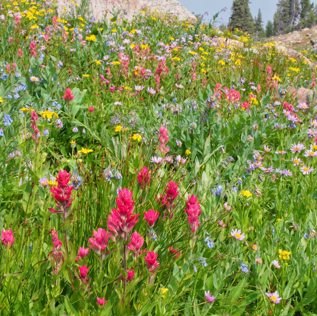
Before mid July, snowmelt saturates every nook and cranny and snow fields still cover many areas. And the mosquitoes are voracious! We like to visit the Beartooths between early August and mid September, when the ground is drier and bugs are fewer.

Backpacking the Beartooths
Summer arrives late and departs early in this country. At 10,000 feet and above, the weather can change quickly, becoming surprisingly cold with freezing temperatures and wind. Even in the heat of mid-August, it’s important to pack warm layers. You’ll also need water shoes for the many stream crossings and lake explorations, and you might consider taking a bug net. We like to carry the kind of mosquito net you put over a bed, available for $10-20 at Amazon, which is super light and can be tied between four trees or tall rocks. Finally, this is still grizzly country, so a bear rope or canister, along with bear spray, is a must.

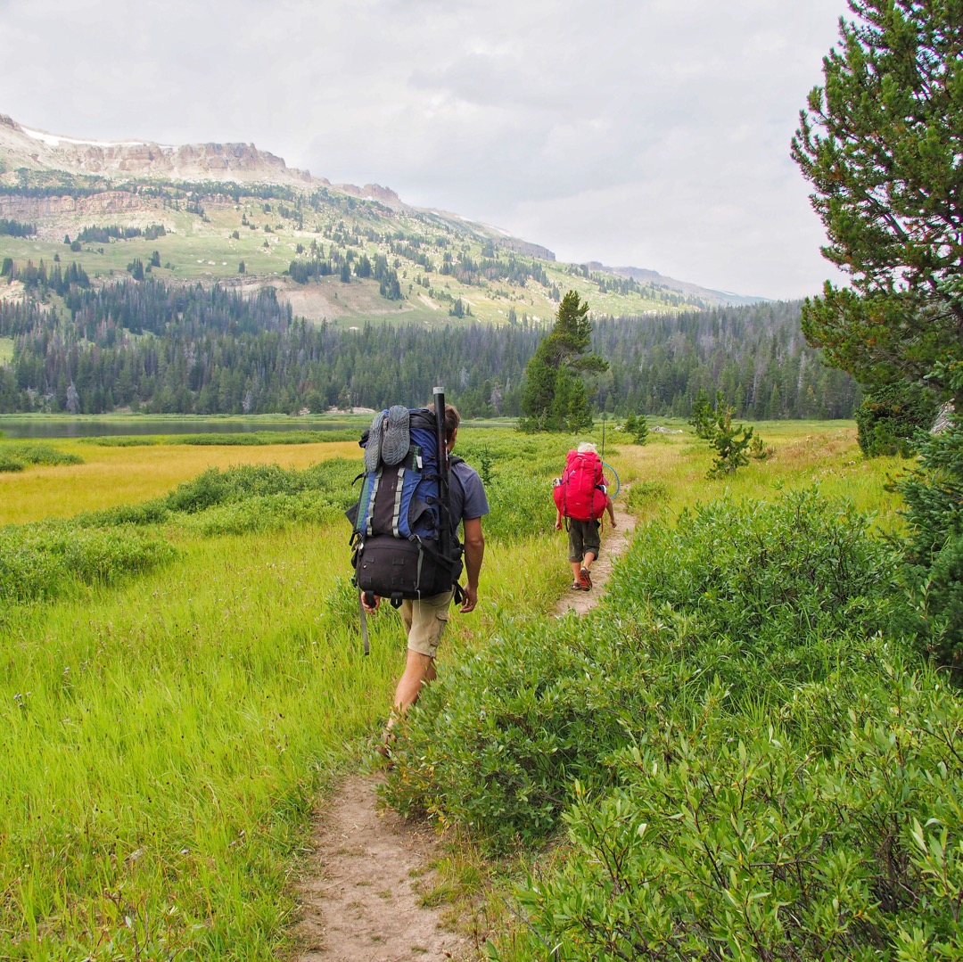
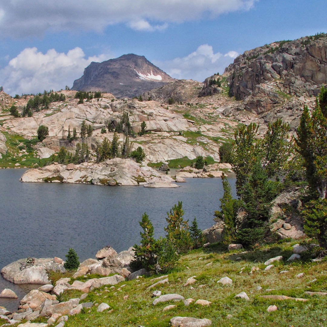
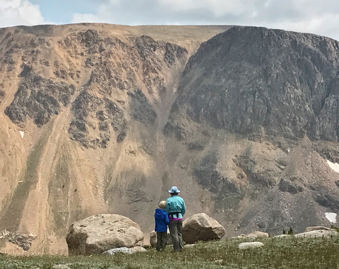
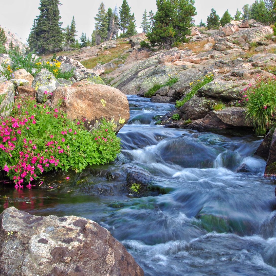
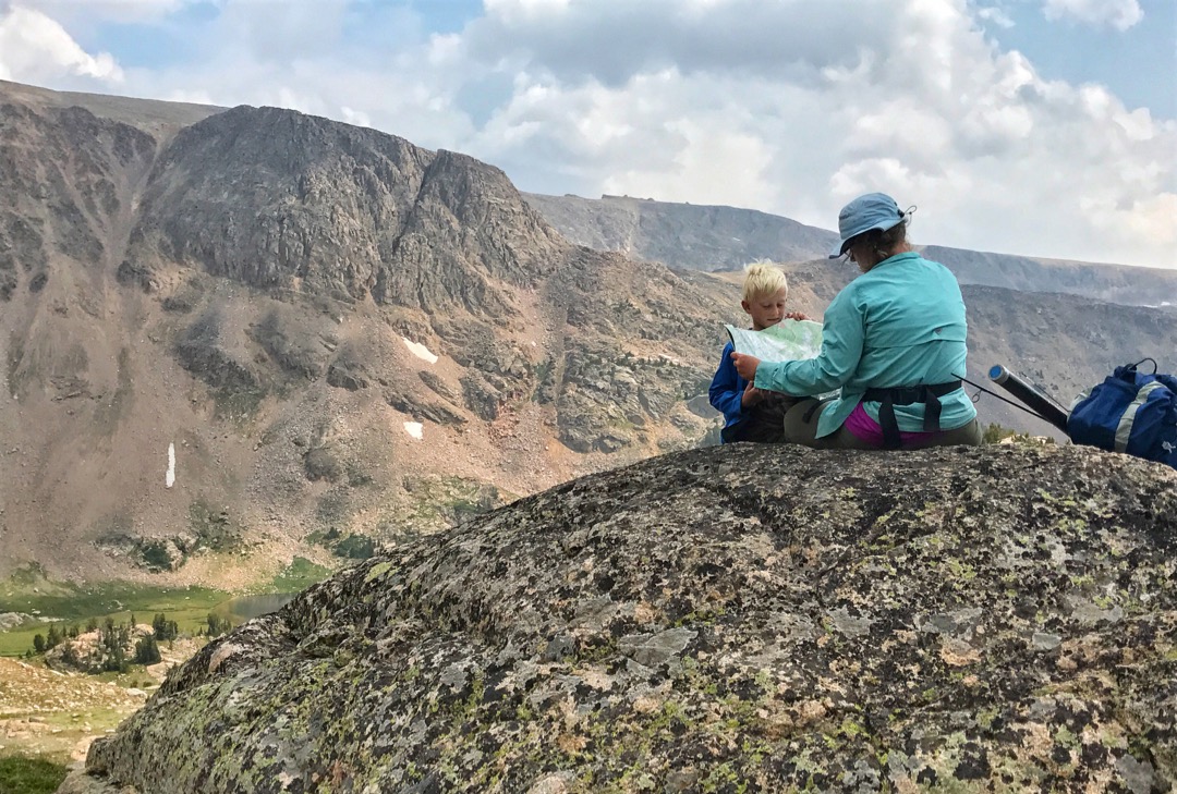
While there are many trailheads that access the Absaroka-Beartooth wilderness, the ones up at higher elevation near Clay Butte provide excellent access to the splendors of the plateau with less elevation gain. Hiking and exploring to find the perfect campsite is part of the fun – you’ll have many to choose from. Just make sure you set up camp at least 200 feet lakes and streams, and in a place you can securely store your food from bears. Before you go, you might check in with the local ranger stations to check on fire and any other restrictions in the area. We use this map to plan our trips, because we like the broad overview of the area. If you are doing extensive off-trail traveling, you might want a finer scale.

To get more of a glimpse of what it’s like in the Beartooths, see Time Flies: Fly Fishing Through Generations and this video.

*When the road over the Beartooths between Cooke City, Montana and Red Lodge, Montana opens around Memorial Day weekend, it’s not uncommon to drive between snowdrifts as high as 15 feet. But because snow can be fluffy, or dense, our friend Mike Tercek reminded us that scientists often want a more meaningful measurement of the amount of snow;  the snow water equivalent (SWE), or the amount of water contained in the snowpack. The SWE is the amount of water left when the snow melts. Scientists measure SWE to forecast how much water will be flowing into streams in the spring and summer, based on how much water accumulated in the mountains.  In 2017-2018, the peak SWE at Beartooth Lake was over 40″. If you estimate the density of the snow is 20% (the approximate density of new snow at 32 degrees F), that’s 200″, or 16 feet! Depending on the density of the snow, that number could be even higher. Check out the Montana Natural Resource Conservation Service for more information about how snow is measured.

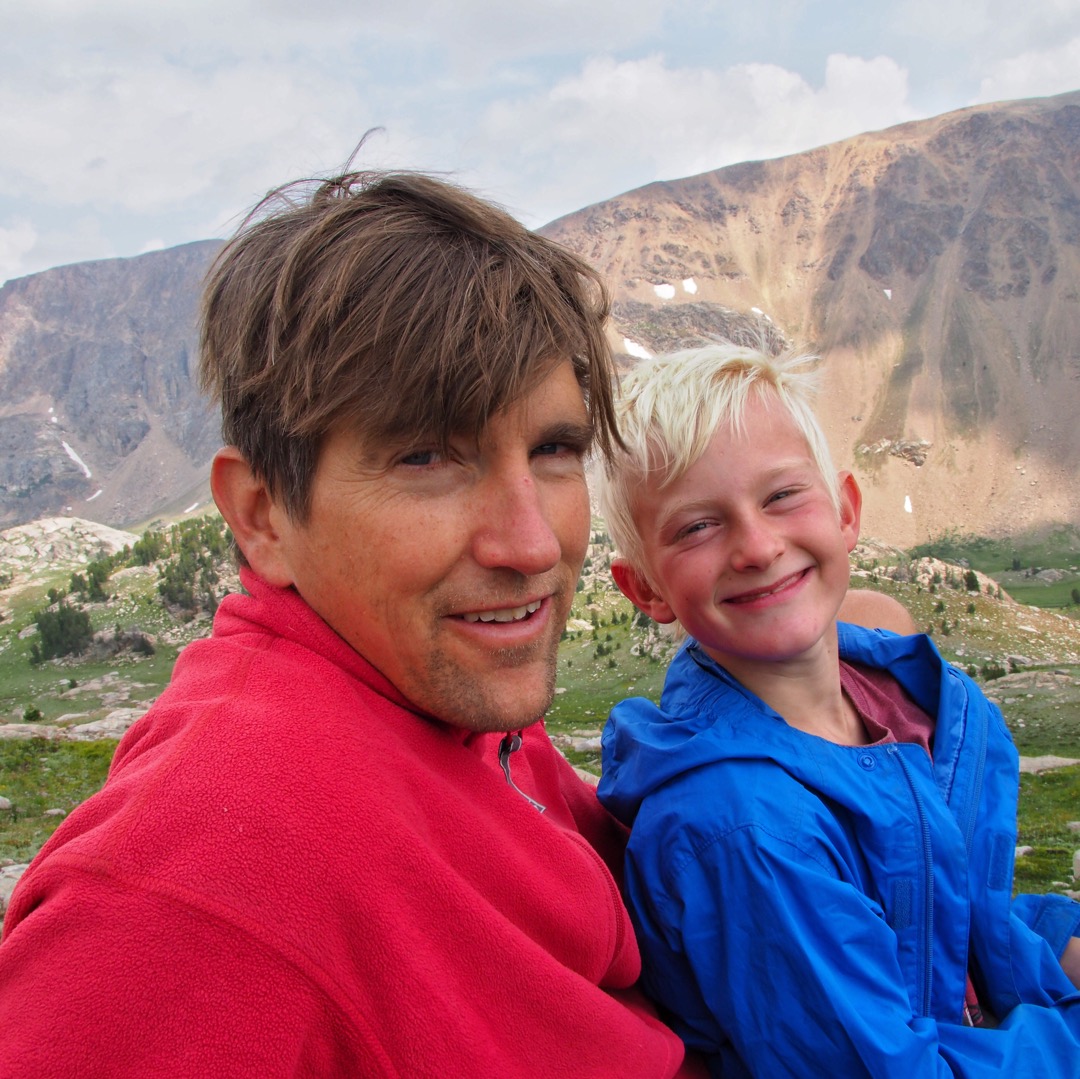
Photos: Jenny Golding & George Bumann