May is always a time of rushing rivers as the winter snows melt and flow down out of the mountains. With snowfall 160% of average in the upper Yellowstone drainage this year, Yellowstone rivers and streams are seeing record high flows throughout the ecosystem. Just outside of Gardiner, the Yellowstone River has surpassed many previous record highs – discharging 21,500 cubic feet per second (cfs) on May 29, compared to 12,000 cfs on the same day last year and well above the 111 year average of 9,000. So…rivers are rushing! Here’s what some of the creeks and drainages look like swollen with snowmelt.
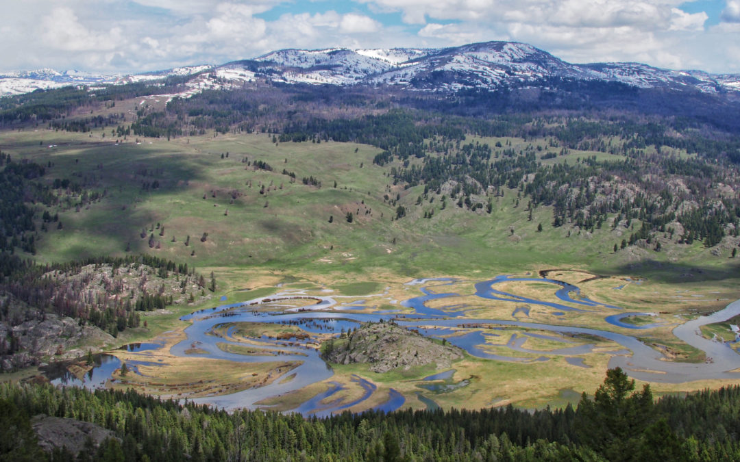
The above image is what the first meadow of Slough Creek looked like a few weeks ago. Below are two arial photos of Slough Creek around the same time in 2017:


The Gibbon River just outside of Norris Campground looks more like a lake right now:


And of the Lamar River and Soda Butte Creek confluence in Lamar Valley in early May, and June 4:


To give you a sense of how powerful these waters are, watch this video of the Lamar River in the canyon on June 4:
YOUTUBE LINK
If you want to keep up with Yellowstone rivers during the spring, the USGS maintains current streamflow levels for the Lamar River, the Yellowstone River, and hundreds of other streams and rivers in the region. It’s a great resource, and interesting to look at how current streamflow compares to the historical record.
Photos: Jenny Golding and George Bumann